Fort Bragg has no commercial airport or passenger rail service. Almost everyone drives, usually from the San Francisco Bay Area, on winding roads through forest or along the cliffs.
Nearest airports
Three airports are realistic. All have rental cars.
| Airport | Rough drive | Best for |
|---|---|---|
| Charles M. Schulz Sonoma County (STS) | About 2.5–3 hours | The closest, with limited flights |
| San Francisco (SFO) | About 4 hours | Most international flights |
| Oakland (OAK) | About 4 hours | Domestic flights and lower fares |
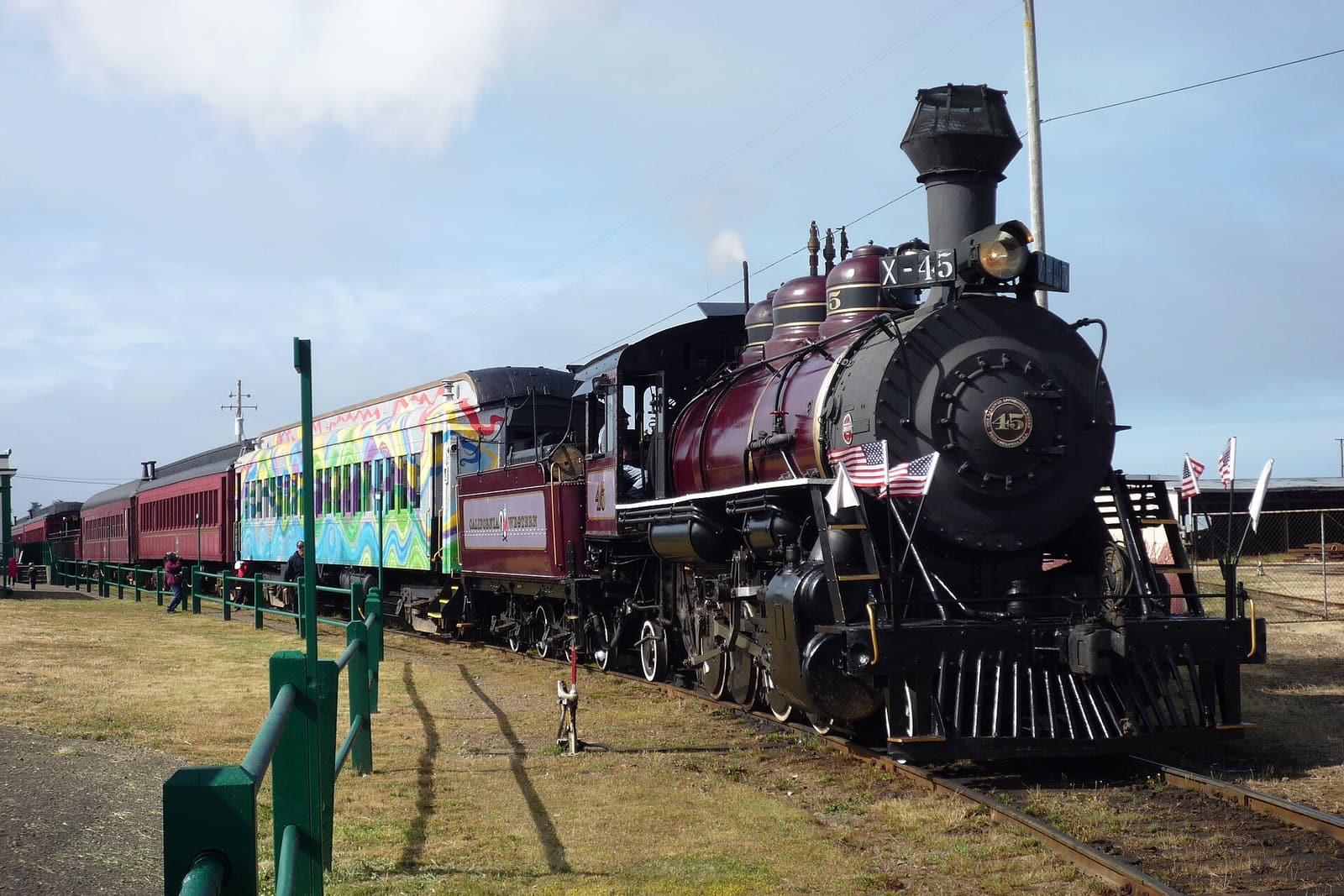 Heritage train from $50
Mendocino County: Skunk Train Pudding Creek Train Ride
The easy classic: a short heritage train ride from downtown Fort Bragg along the Pudding Creek estuary and into the redwoods to Glen Blair Junction and back. The right choice with children or limited time.
- About 7 miles round trip along Pudding Creek
- Departs the depot in downtown Fort Bragg
- Listing includes the model railroad museum
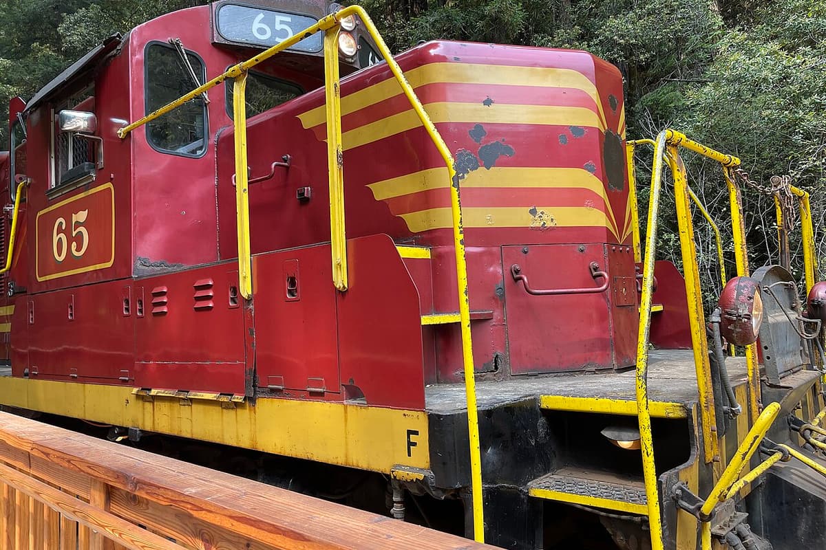 Heritage train from $60
Mendocino County: Skunk Train Wolf Tree Turn Train Ride
This one departs from Willits on US-101, about an hour inland from Fort Bragg, so it suits people driving in that way. One reviewer found fewer redwoods than expected.
- Leaves from the inland end of the line
- Over the summit and through Tunnel No. 2
- Down into the Noyo River canyon
The three road routes
US-101 and Highway 128: the usual way
Drive north from San Francisco over the Golden Gate on US-101 to Cloverdale, then northwest on Highway 128 through Anderson Valley wine country and the Navarro River redwoods to the coast. Turn north on Highway 1. It is the most popular route from the Bay Area.
Highway 1: the slow, spectacular way
The coast road from the Golden Gate through Bodega Bay, Jenner and Gualala is one of the great drives in America, but it twists constantly. Allow most of a day, and consider stopping overnight. Do it in daylight.
US-101 and Highway 20: the direct way from the north or inland
From Willits on US-101, Highway 20 crosses the Coast Ranges to Fort Bragg in about 33 miles, around an hour. It is narrow and winding, but it arrives right at town. Further north, Highway 1 leaves US-101 at Leggett and reaches the coast over a very twisty mountain section.
Driving tips
- Check Caltrans QuickMap before you travel. Slides and flooding can close Highways 1 and 128 in winter.
- Use turnouts to let faster local traffic pass.
- Fill up before long rural stretches, and download maps, as cell coverage drops out.
- Anyone prone to car sickness should sit in front.
Without a car
Public transport exists but is limited. Mendocino Transit Authority runs regional buses along the coast and inland; check current schedules. Downtown is walkable, but you will miss most of the coast without a car. Taking a road trip further? Our sister site CaliforniaTravel.com covers the rest of the state.
Once you are here
See where to stay, and note that the Skunk Train has a second station in Willits, so you can ride on your way in.